land data gap
Every publicly traded stock in the United States has a visible price, updated in real time, accessible to anyone with an internet connection. Every listed residential property has a recent sale comparable, a zoning record, an assessor value, and an MLS history available through a handful of consumer portals. Land, by contrast, has none of this. America’s largest physical asset class, encompassing more than 2 billion acres of privately held land, remains one of the most opaque, data-deficient, and consequently mispriced markets in the country.
The land data gap is not a technology problem alone. It is a structural consequence of how land information has been collected, stored, and accessed in the United States for two centuries, and understanding it is the first step toward identifying where genuine pricing inefficiencies exist and how to navigate them.
Why Land Is America’s Most Under-Informed Asset Class
Land investing is, at its core, the purchase of raw or undeveloped parcels with the intent to hold for appreciation, lease for income, or sell to a developer who sees what the market has not yet priced in. That last phrase matters. Land is one of the few asset classes in America where the gap between a parcel’s intrinsic potential and its current market price remains both large and persistent, primarily because the information required to close that gap is not readily available to most market participants.
Land records in the United States are maintained at the county level, and there are more than 3,000 counties, each with its own assessor, recorder, and planning department, each operating on its own technology infrastructure, data standards, and update schedule. The result is that the information landscape for land in America is not a single market with transparent pricing, it is a patchwork of 3,000 separate local markets, many of which are difficult to research, compare, or analyze at scale.
A systematic review of agricultural land market literature published in 2025 described the agricultural land market as highly opaque, fragmented, and subject to speculation. A lack of standardized valuation methodologies and transparent market data creates uncertainty for stakeholders, including policymakers, investors, and farmers. This uncertainty leads to market inefficiencies, price distortions, and inequalities in land access, particularly in regions where regulatory frameworks are weak or inconsistent.
What Raw Land Market Information Is Actually Missing
The land data gap is not a single missing dataset. It is the absence of several overlapping information layers that, together, would give buyers and sellers a complete picture of what any given parcel is worth.
- Comparable sales data: unlike residential real estate, where MLS transaction records are relatively standardized and accessible, rural and raw land transactions are recorded through individual county recorder offices, often without standardized fields, and are not aggregated into any national comparable sales database accessible to buyers.
- Zoning and permitted use data: there are more than 30,000 local zoning jurisdictions in the United States. Most publish their zoning codes as PDFs and their GIS data on county-specific portals with varying levels of currency and completeness. No national zoning standard exists.
- Environmental constraints: floodplain boundaries, wetland delineations, soil classifications, and conservation easements are maintained by separate federal and state agencies in separate data systems that are not linked to parcel records at the county level by default.
- Ownership and entity data: a significant share of rural land is held in LLCs, trusts, and other entities. Tracing a parcel to an actual individual requires cross-referencing county records with state Secretary of State business registries, a process that requires multiple manual steps.
- Transaction history and pricing context: in many rural markets, there may be a handful of comparable land transactions per year within a realistic comparison radius. That thin transaction volume makes price discovery based on comparables genuinely difficult, rather than merely inconvenient.
The Land Pricing Data Problem: How Mispricing Happens
The practical consequence of all of this missing land pricing data is that land transactions are frequently priced on imperfect information. Sellers without access to current comparable sales often price based on cost basis, neighboring listing prices, or informal broker opinions that may not reflect actual market conditions. Buyers without access to reliable comparable data either overpay by anchoring to asking prices, or underbid cautiously and miss acquisitions that would have been sound at market value.
This dynamic is different from the residential real estate market, where the MLS and public records together provide enough transaction data to establish a market price for most properties within a reasonable range. In rural and raw land markets, particularly in lower-transaction counties, a buyer who has done careful parcel research can frequently identify a material spread between what a seller is asking and what comparable parcels have actually transacted for, because the seller does not have access to the same transaction data.
That spread is the operating definition of a mispriced asset. And in the land market, it is not rare. It is structural.
Why the Land Value Information Gap Persists in 2026
Despite significant investment in proptech infrastructure over the past decade, the land data gap has narrowed only partially. Platforms that aggregate parcel data across counties have made it significantly faster to access ownership records, basic zoning classifications, and assessed values for individual parcels. A practical starting point for understanding how land values vary by state is now accessible through consumer-facing data platforms in a way it was not five years ago.
But the deeper problem, the absence of standardized comparable sales data and the fragmentation of zoning and environmental records, has not been resolved by aggregation alone. Aggregating inconsistent county-level data at national scale produces a more accessible version of the same underlying inconsistency, not a new standard.
The land market also lacks the institutional infrastructure that has driven transparency in other asset classes. Equities markets have mandatory disclosure requirements and centralized exchanges. Residential real estate has the MLS, a networked system of cooperative listing databases that, while imperfect, creates a relatively standardized transaction record across most markets. Land has neither. There is no mandatory centralized listing system for land transactions, no standardized disclosure form for raw land sales in most states, and no equivalent of GAAP for land valuation.
Who Benefits From Land Market Opacity
It is worth being direct about the asymmetry that land market opacity creates. The buyers and sellers who benefit most from the land data gap are those who have invested in building their own proprietary data infrastructure, typically institutional investors, large agricultural operators, and professional land acquisition firms who have spent years building county-by-county databases and relationships.
These participants know what comparable parcels have sold for because they have tracked every transaction in their target markets. They know what a parcel’s development potential is because they have relationships with county planning staff. They know what an absentee owner’s motivations might be because they have researched ownership history, tax delinquency, and entity filings.
Individual buyers and smaller investors, operating without that infrastructure, are systematically at an information disadvantage in land transactions. They pay a higher price for equivalent parcels because they cannot efficiently access the same pricing and context data. This is not a theoretical concern. It is a consistent pattern observable in any land market with active institutional and retail buyer participation.
What Is Changing: Toward Greater Land Market Transparency
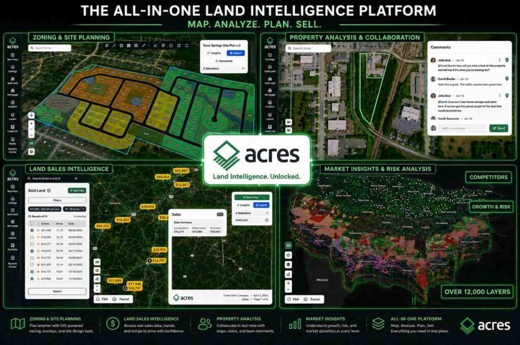
The most significant recent development in closing the land value information gap is the emergence of parcel intelligence platforms that aggregate and normalize public record data at national scale. These platforms combine county assessor records, GIS parcel boundaries, satellite imagery, soil classification data, and environmental layer data into a single queryable interface. For buyers who know how to use them, they substantially compress the research time required to understand a parcel’s context before making an offer. Understanding how to interpret comparable sales for land is now accessible to any buyer willing to look, rather than only to professionals with established county-by-county data infrastructure.
AI-powered natural language search is extending this further, allowing users to describe parcel criteria in plain language and have a system surface matches across millions of records, with zoning and environmental data pre-interpreted rather than requiring separate manual research. As of early 2026, platforms with national parcel coverage have launched native AI search capabilities that can screen for acquisition criteria across entire state geographies in the time it previously took to manually review a single county’s portal.
Institutional standardization efforts, including the National Zoning Atlas and ongoing USDA data initiatives, are working toward more comparable cross-jurisdictional datasets, though the scale of the underlying fragmentation means this process will take years to complete at national coverage.
Conclusion
The land data gap is a structural feature of the American land market, not a temporary inefficiency. It reflects two centuries of county-level record-keeping without national standards, a lack of mandatory disclosure infrastructure, and a transaction volume in most rural markets that is too thin to support the kind of comparable data density that residential real estate buyers take for granted. For buyers and sellers, the practical implication is that the market rewards those who invest in understanding how to determine land value through rigorous comparable research rather than relying on asking prices or broker opinions alone.
The gap is narrowing, but it is narrowing unevenly. Participants who understand where the information asymmetry lies and invest in the tools and research processes to close it will continue to find land mispriced in their favor. Participants who do not will continue to transact in a market where the price is set by whoever has better data.